English
 Français
  Italiano
  Deutsch
 - FURNITURE
-
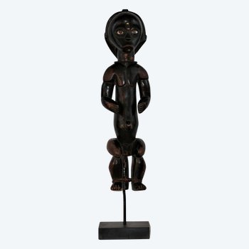
Featured item
 Fang sculpture, Gabon
580 € EUR
Fang sculpture, Gabon
580 € EUR
-
WORLD OF ANTIKEO