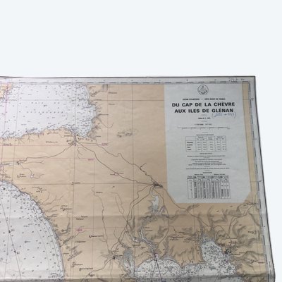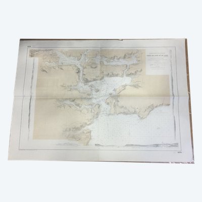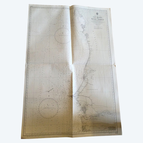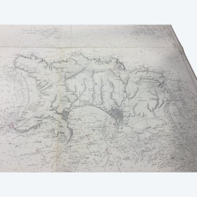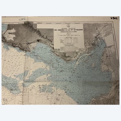
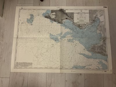
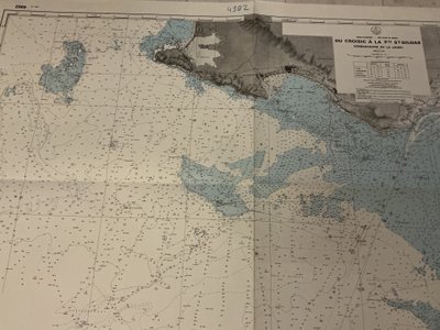
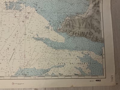
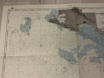

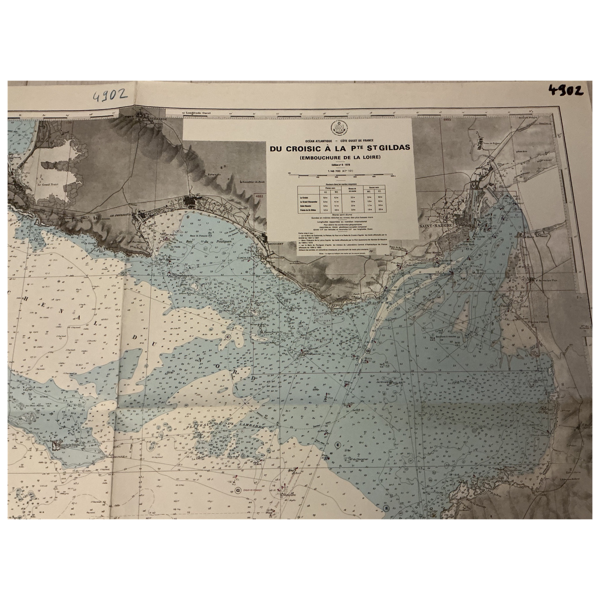
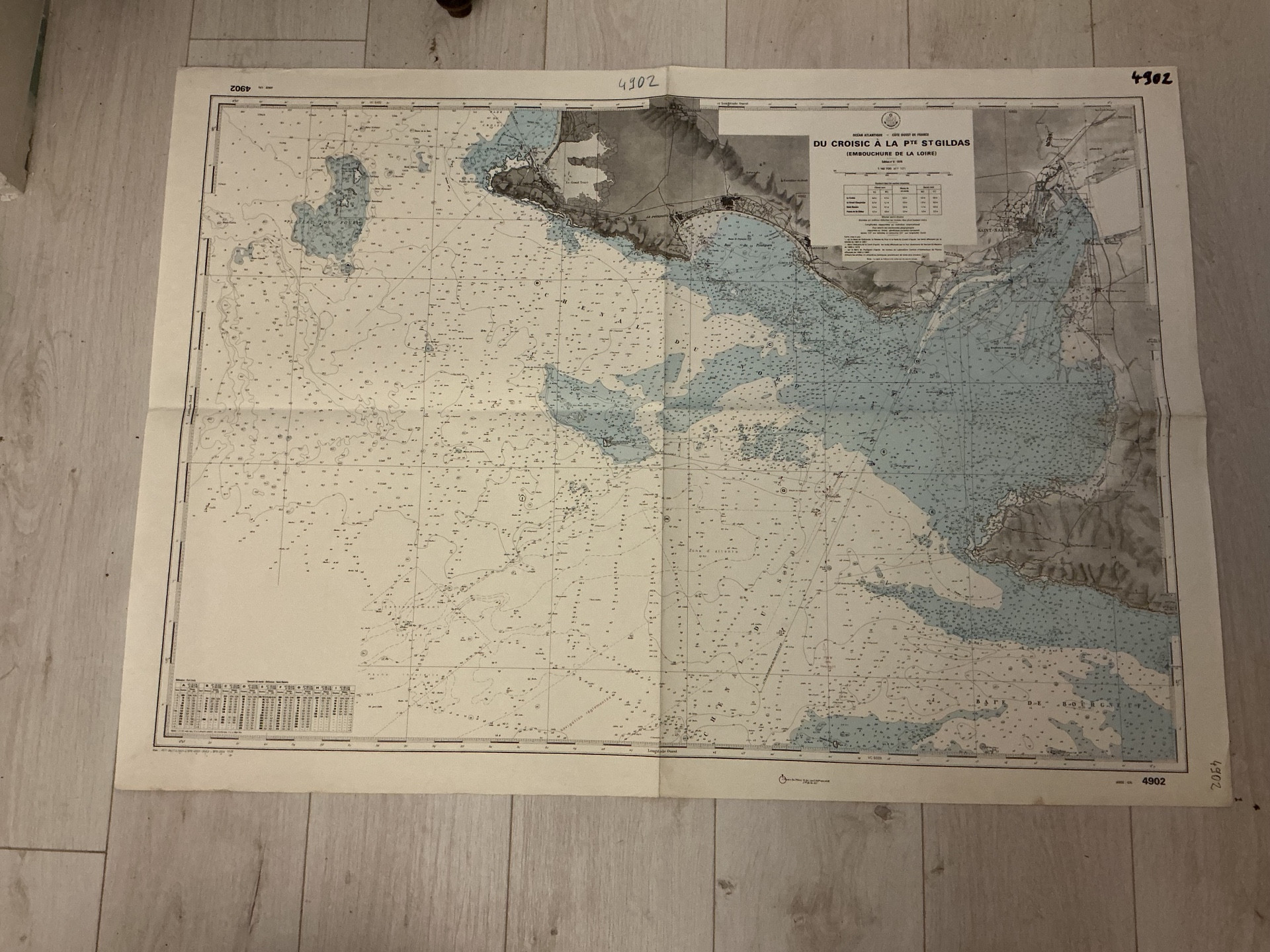
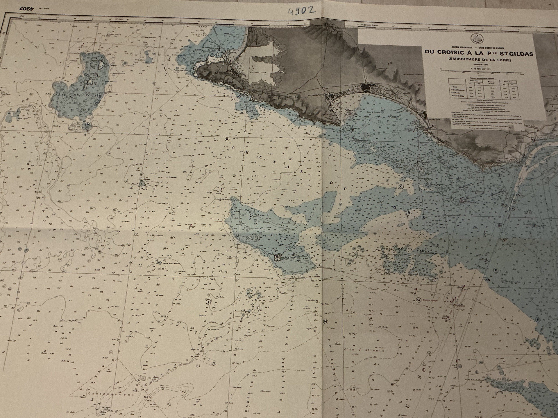
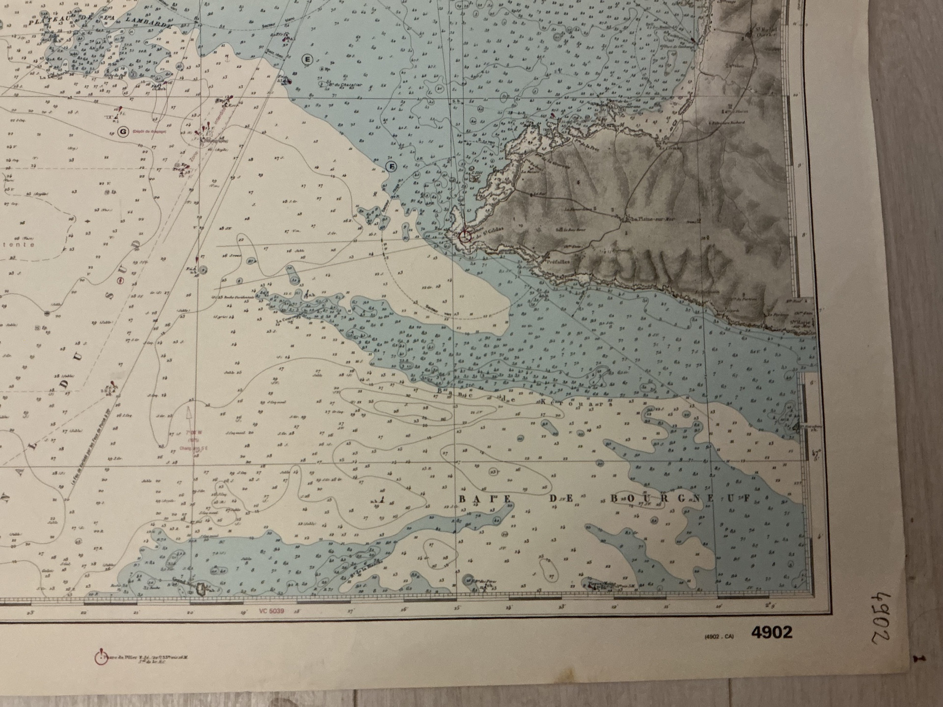
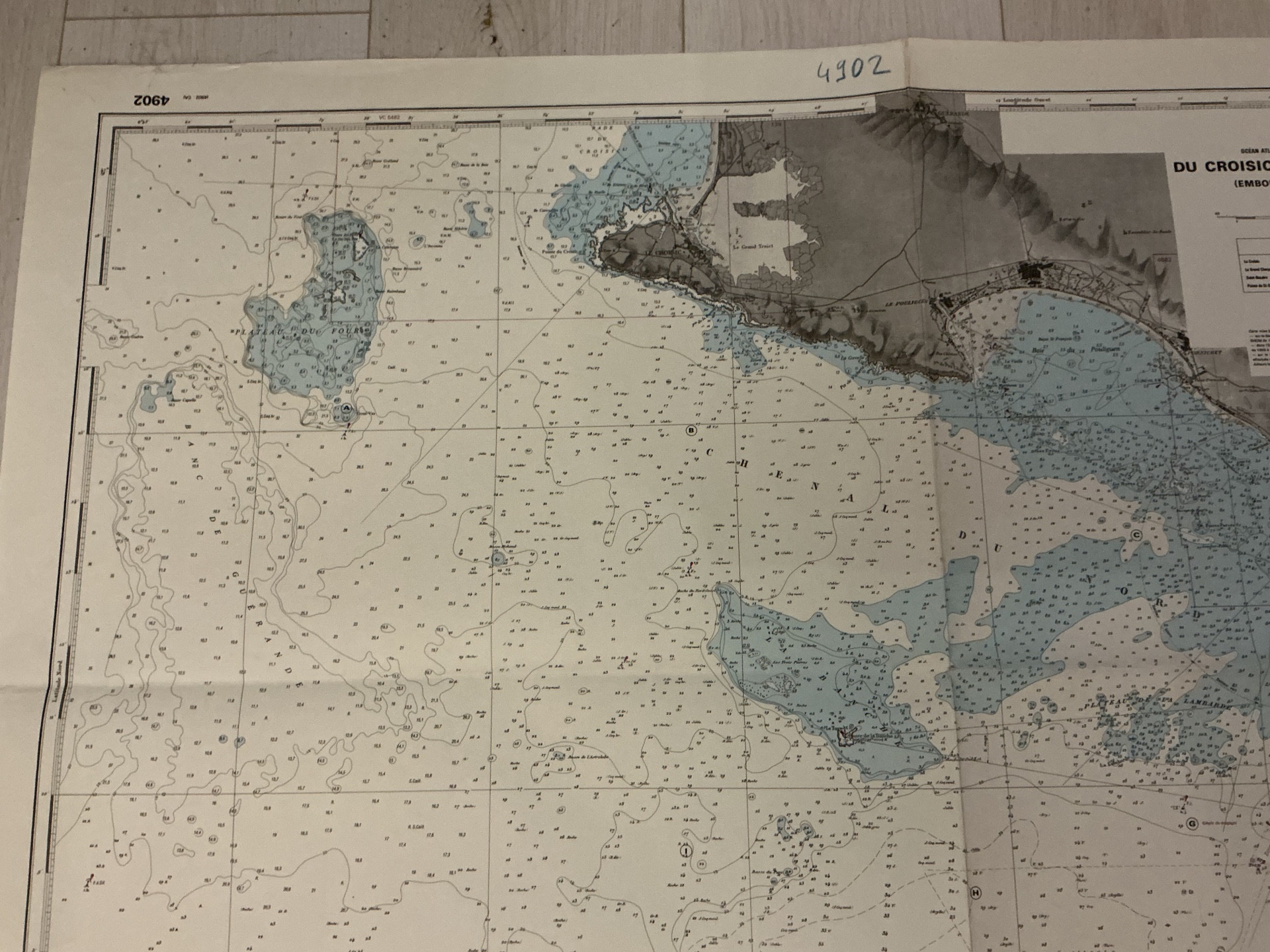
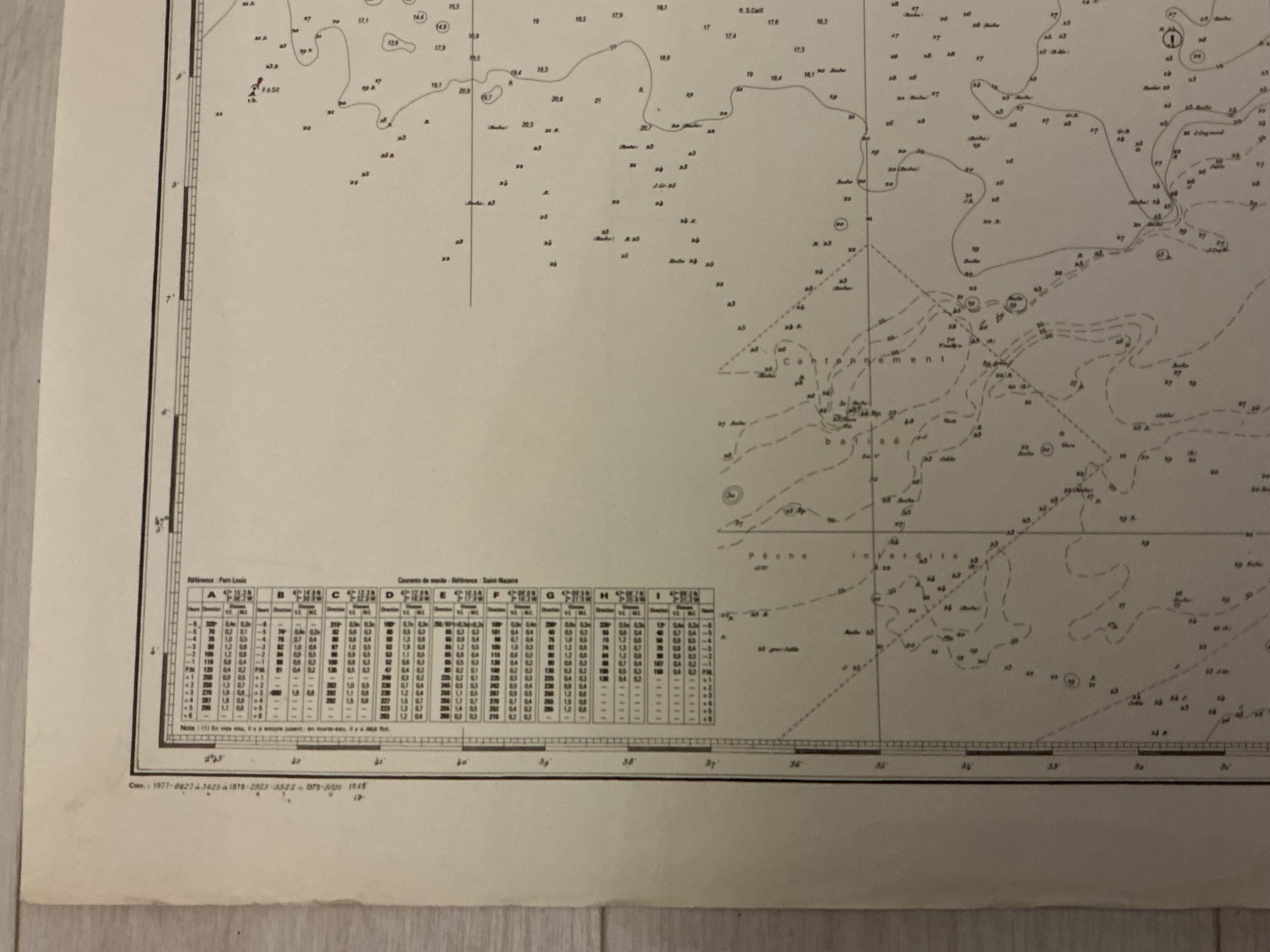
Large nautical chart "Le Croisic to Pointe St Gildas"
slider-bg
more images

Would you like more images?

Large nautical chart "Le Croisic to Pointe St Gildas"

By Gallery du Pont
Member of the Authenticity-Quality label
65 €
20th century
Other style
DELIVERY
From: 22220, TRÉGUIER , France

Change your address to get an accurate estimate of shipping costs.

    Item offered for sale by

    See the gallery
    This description has been translated and may not be completely accurate. Click here to see the original

    Large navigation chart, the mouth of the Loire River. 1976 edition. Used condition. Dimensions 106 x 76 cm

    Ref: EBTUJXT8RY

    Condition Very good
    Style Other style (Old maps of Other style Style)
    Period 20th century (Old maps 20th century)
    Country of origin France
    Length (cm) 106
    Height (cm) 75
    Shipping Time Ready to ship in 2-3 Business Days
    Location 22220, TRÉGUIER , France
    Antikeo Buyer Guarantee

    4 commitments to buy with confidence