

Would you like more images?


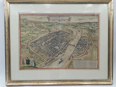
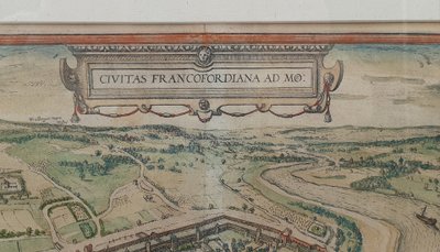
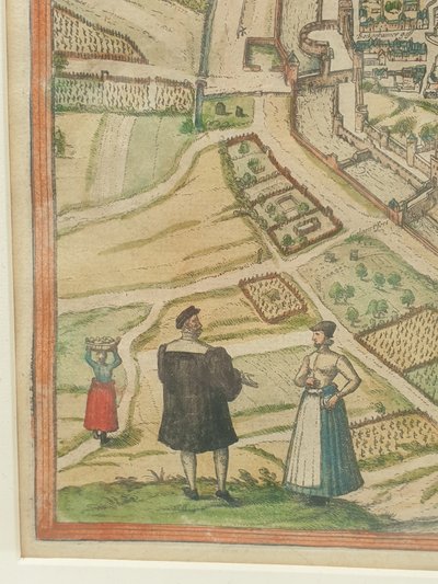
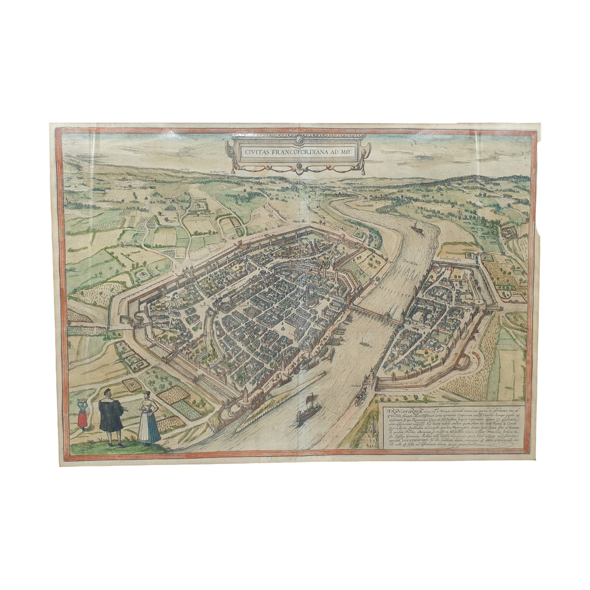
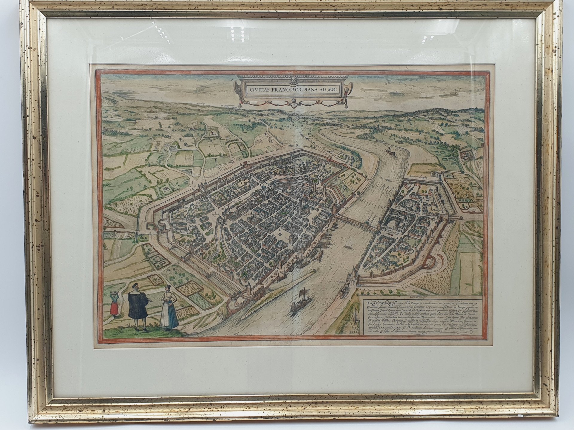
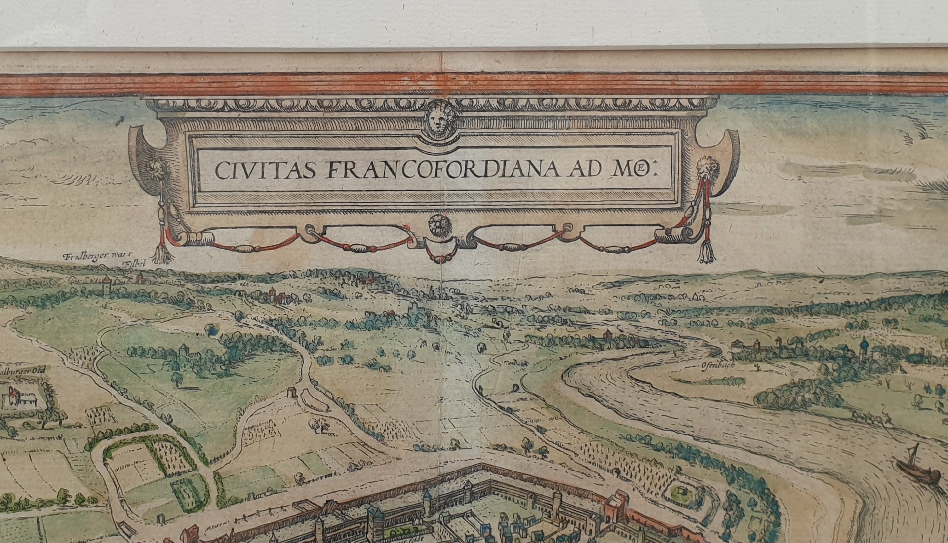
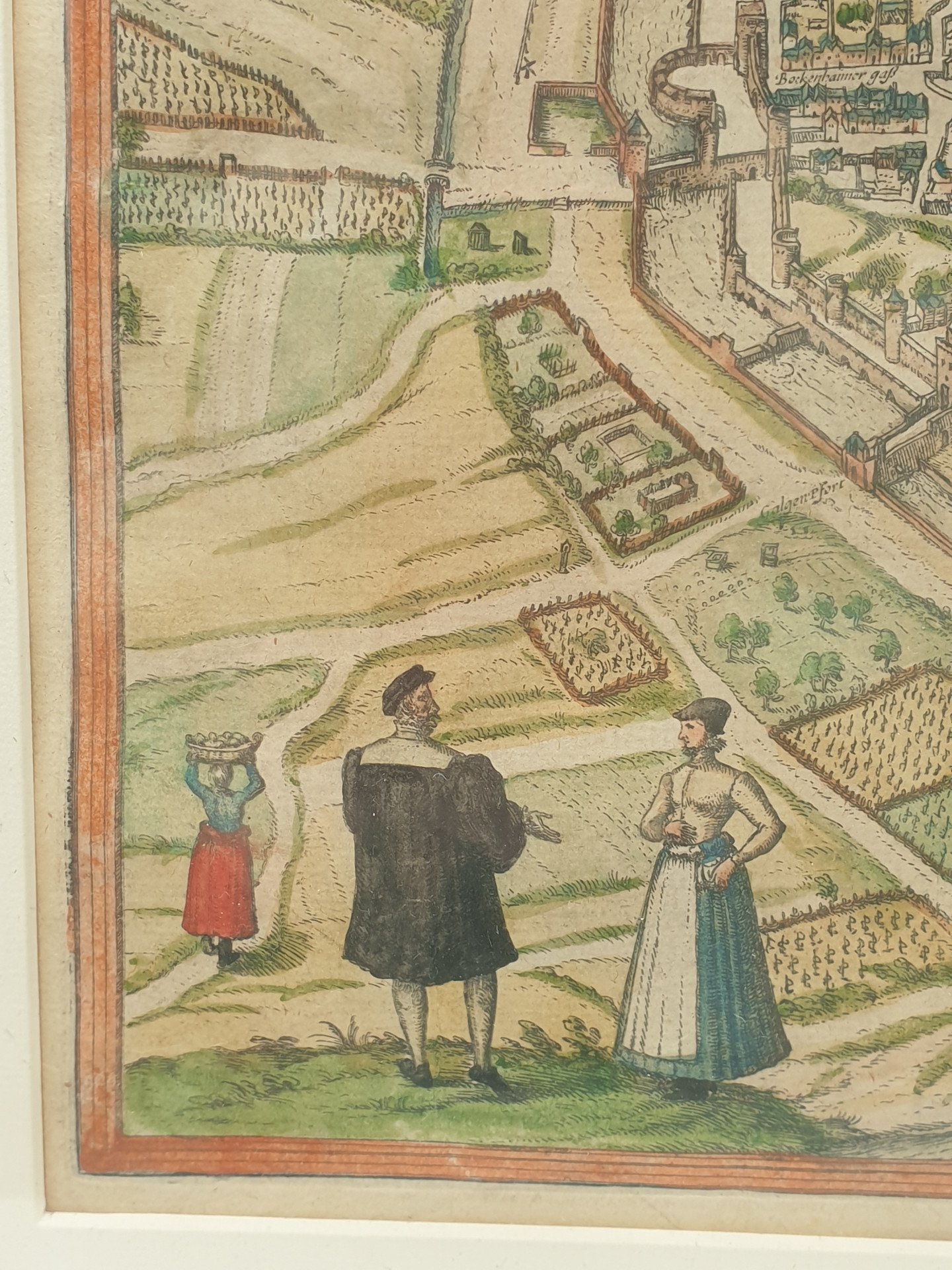
Old Map - Bird's-eye view of Frankfurt am Main by Braun and Hogenberg.
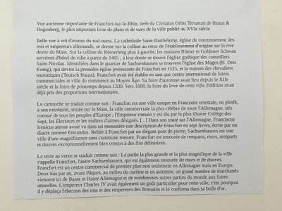
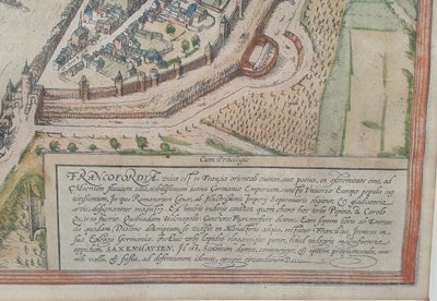
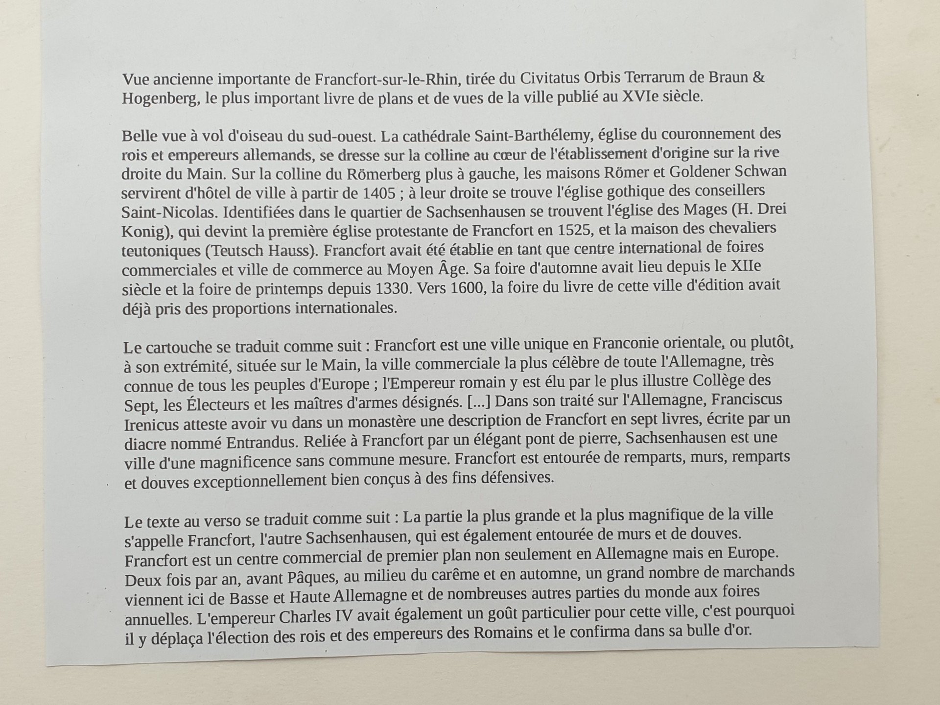
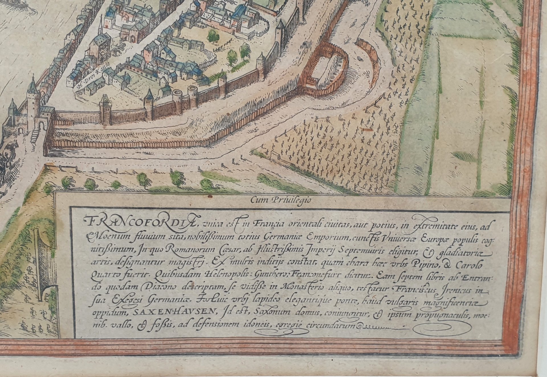
TRANSLATION OF THE TEXT ON THE CARTRIDGE: Frankfurt is a unique city in East Franconia, or rather, at its extremity, situated on the Main River. It is the most famous trading city in all of Germany, well known to all the peoples of Europe. The Holy Roman Emperor is elected there by the illustrious College of Seven, the Electors, and the appointed Masters-at-Arms. [...] In his treatise on Germany, Francis Irenaeus attests to having seen in a monastery a description of Frankfurt in seven books, written by a deacon named Entrandus. Connected to Frankfurt by an elegant stone bridge is Sachsenhausen, a city of remarkable magnificence. Frankfurt is surrounded by exceptionally well-designed ramparts, walls, and moats for defensive purposes.
Date of first edition: 1572
Date of this map: 1574
Copper engraving
Dimensions: 47 x 33 cm (18.3 x 12.9 inches)
Dimensions with frame: 65.5 x 51.5 cm (25.8 x 20.3 inches)
Condition: Original period coloring, excellent.
PLEASE NOTE: For safety reasons, I ship without the glass. Experience with a format like this shows that the risk of breakage is very high and often damages the artwork! The cost of having glass cut is minimal considering the risks.
Ref: 9YVHSUWMSM
| Condition | Very good |
| Style | Renaissance style (Old maps of Renaissance style Style) |
| Period | 16th century and older (Old maps 16th century and older) |
| Country of origin | Germany |
| Artist | Braum et Hogenberg |
| Width (cm) | 65.5 |
| Height (cm) | 51.5 |
| Internal reference | Janvier 2026 |
| Shipping Time | Ready to ship in 4-7 Business Days |
| Location | 89160, Ancy le Franc, France |
4 commitments to buy with confidence

 English
 Français
 Italiano
 Deutsch