

Would you like more images?


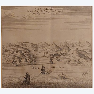
This early 17th-century map depicts the attack on Las Palmas de Gran Canaria by the Dutch fleet led by Admiral Peter Van des Does in 1599, during the context of the Eighty Years' War. It is a black engraving on paper attributed to Bartholomeus Dolendo (1570-1626) or sometimes to Theodor de Bry (1561-1623). Dimensions: 22 x 31 cm (excluding margins). There is a slight central crease. It is in very good condition and is rare.
Ref: 58CYAP0014
| Condition | Very good |
| Style | Louis XIV style (Old maps of Louis XIV style Style) |
| Period | 17th century (Old maps 17th century) |
| Country of origin | Netherlands |
| Artist | Bartholomeus Dolendo (1572 - 1626) |
| Width (cm) | 31 |
| Height (cm) | 22 |
| Shipping Time | Ready to ship in 4-7 Business Days |
| Location | 26110, NYONS, France |
4 commitments to buy with confidence

 English
 Français
 Italiano
 Deutsch