Français
 English
  Italiano
  Deutsch
 - MOBILIER
-
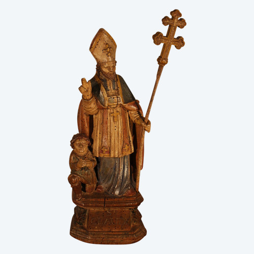
Objet à la une
 Saint-Claude 17e siècle
1.100 € EUR
Saint-Claude 17e siècle
1.100 € EUR
-
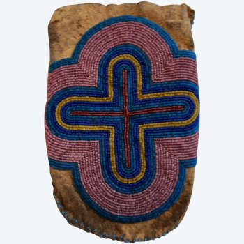
Objet à la une
pochette Crow
800 € EUR
-
Objet à la une
Bague ajourée en or jaune et opale d'Australie
1.590 € EUR