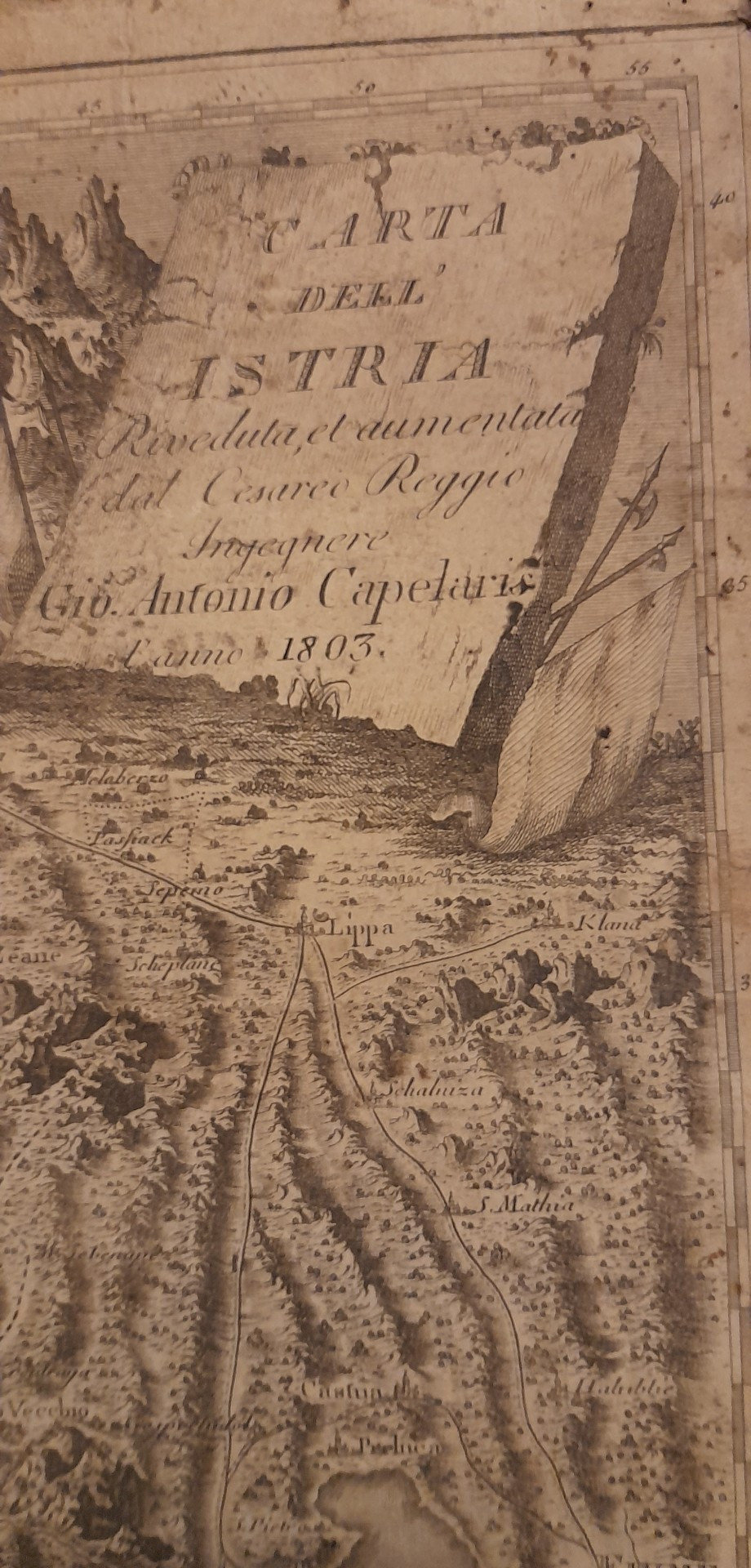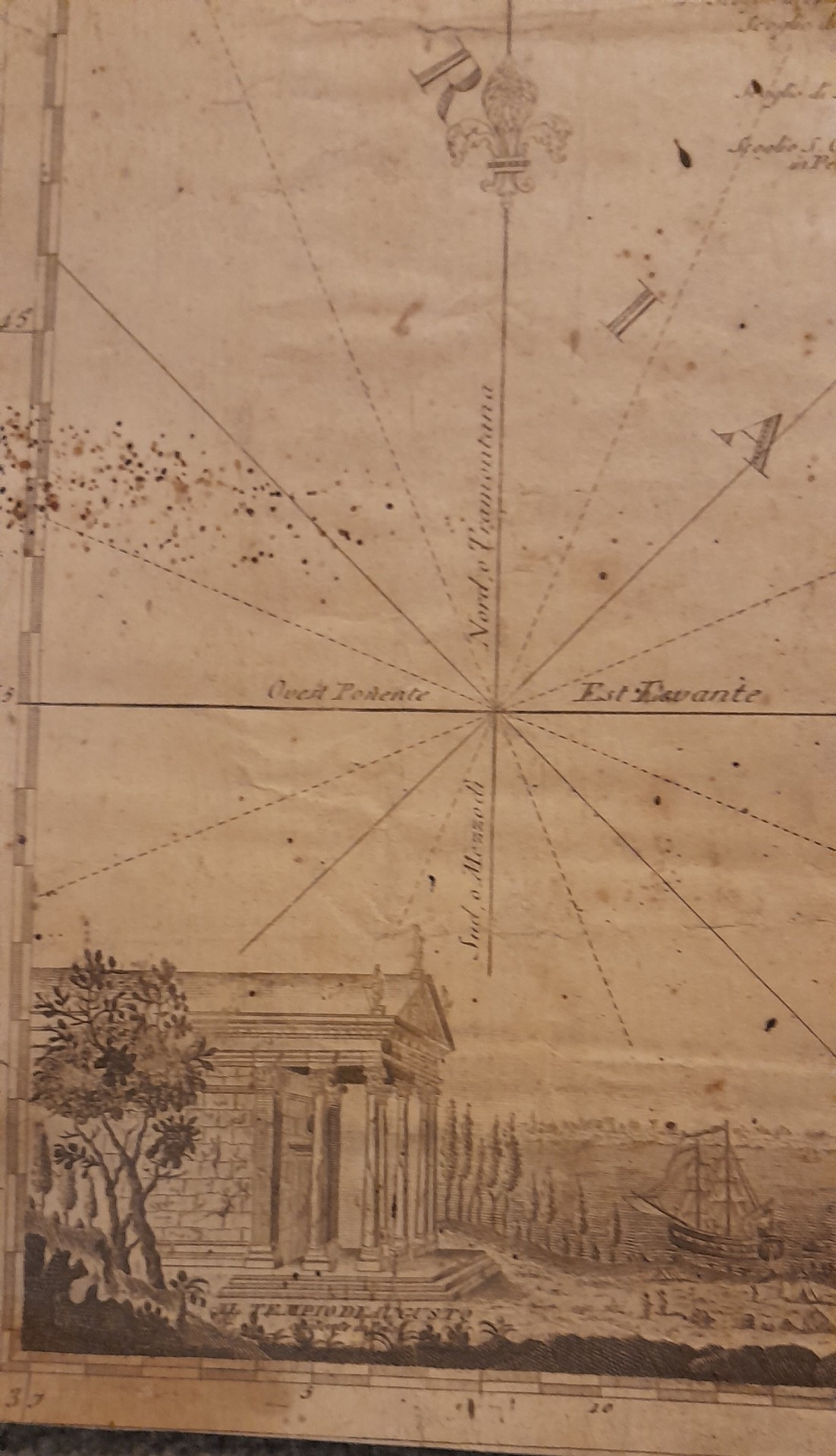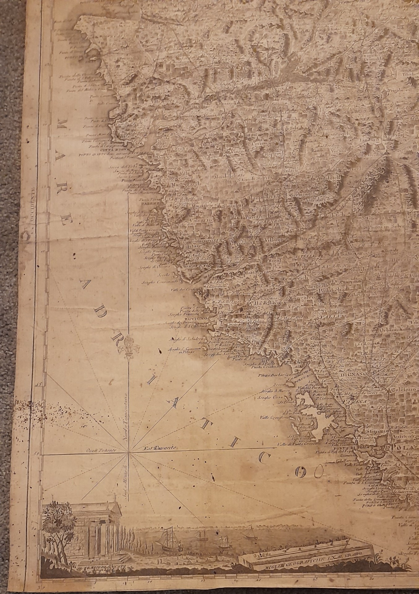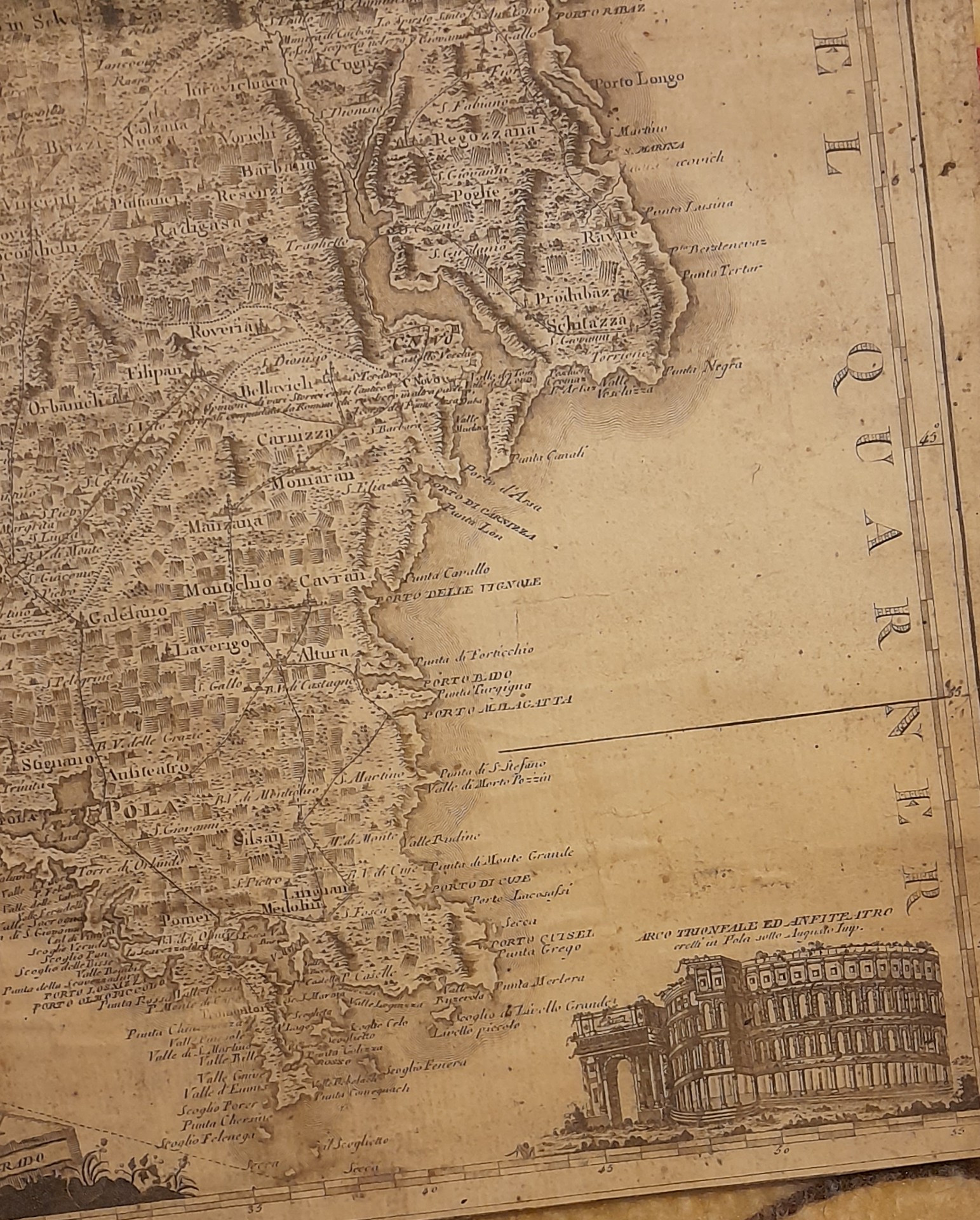
Map of Istria, 1803
Map of Istria, 1803
Map of Istria, 1803
Map of Istria, 1803
Map of Istria, 1803
Map of Istria, 1803
Map of Istria, 1803
Map of Istria, 1803
Map of Istria, 1803
Map of Istria, 1803
Map of Istria, 1803
slider-bg
more images

Would you like more images?

Map of Istria, 1803

19th century
Directoire style
DELIVERY
From: 41000 , Blois, France

Change your address to get an accurate estimate of shipping costs.

    Item offered for sale by

    See the gallery
    This description has been translated and may not be completely accurate. Click here to see the original

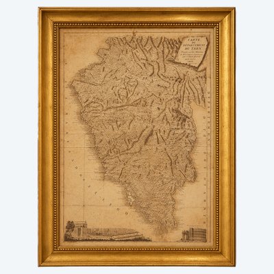
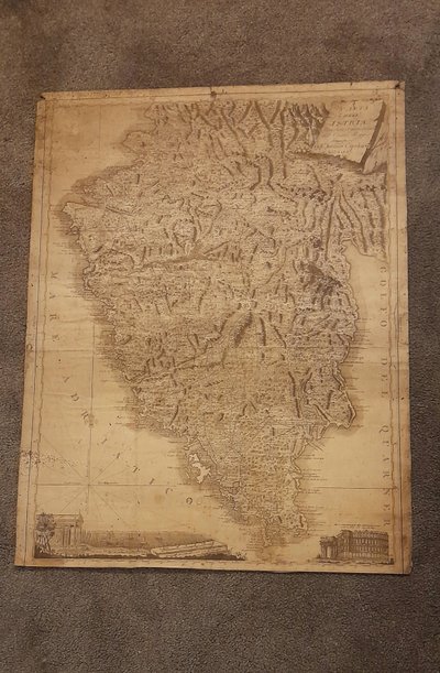
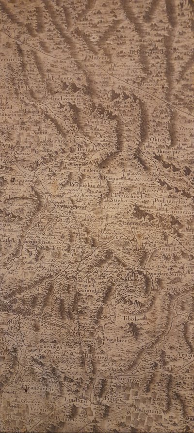
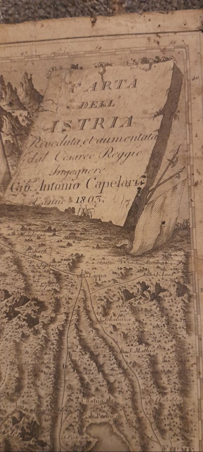
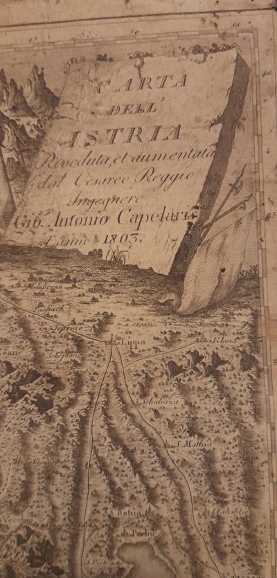
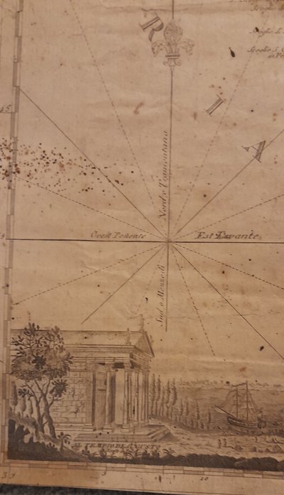
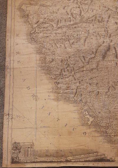
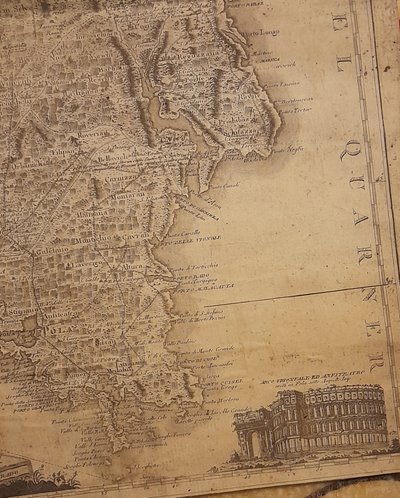
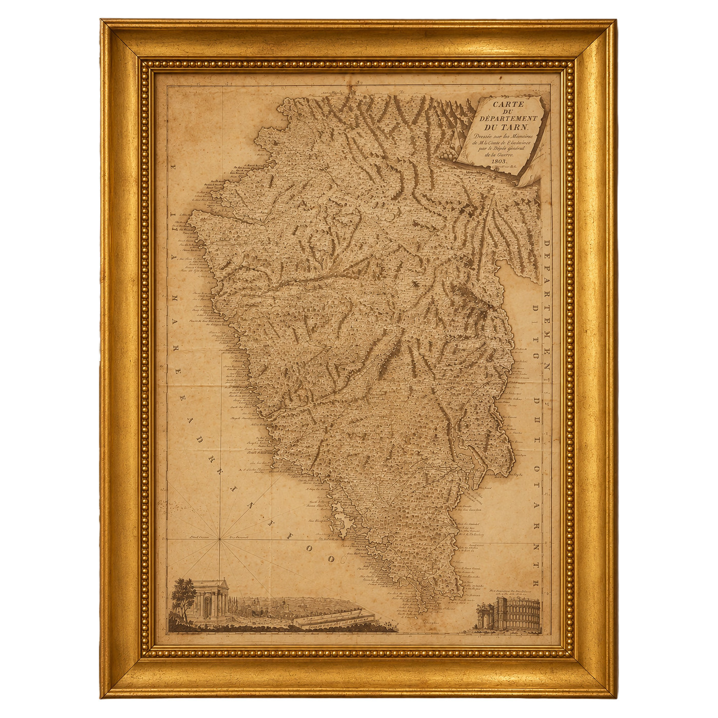
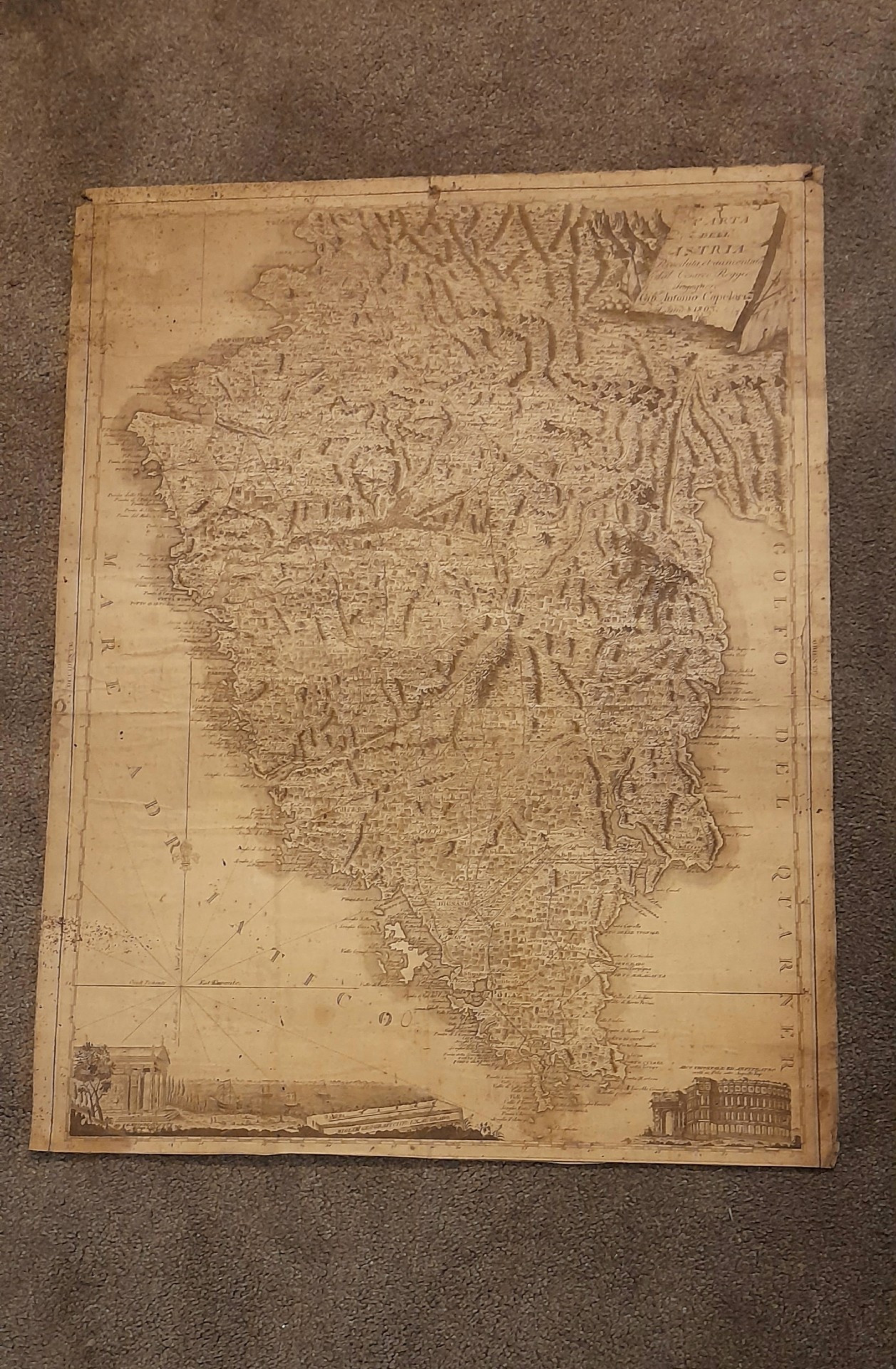
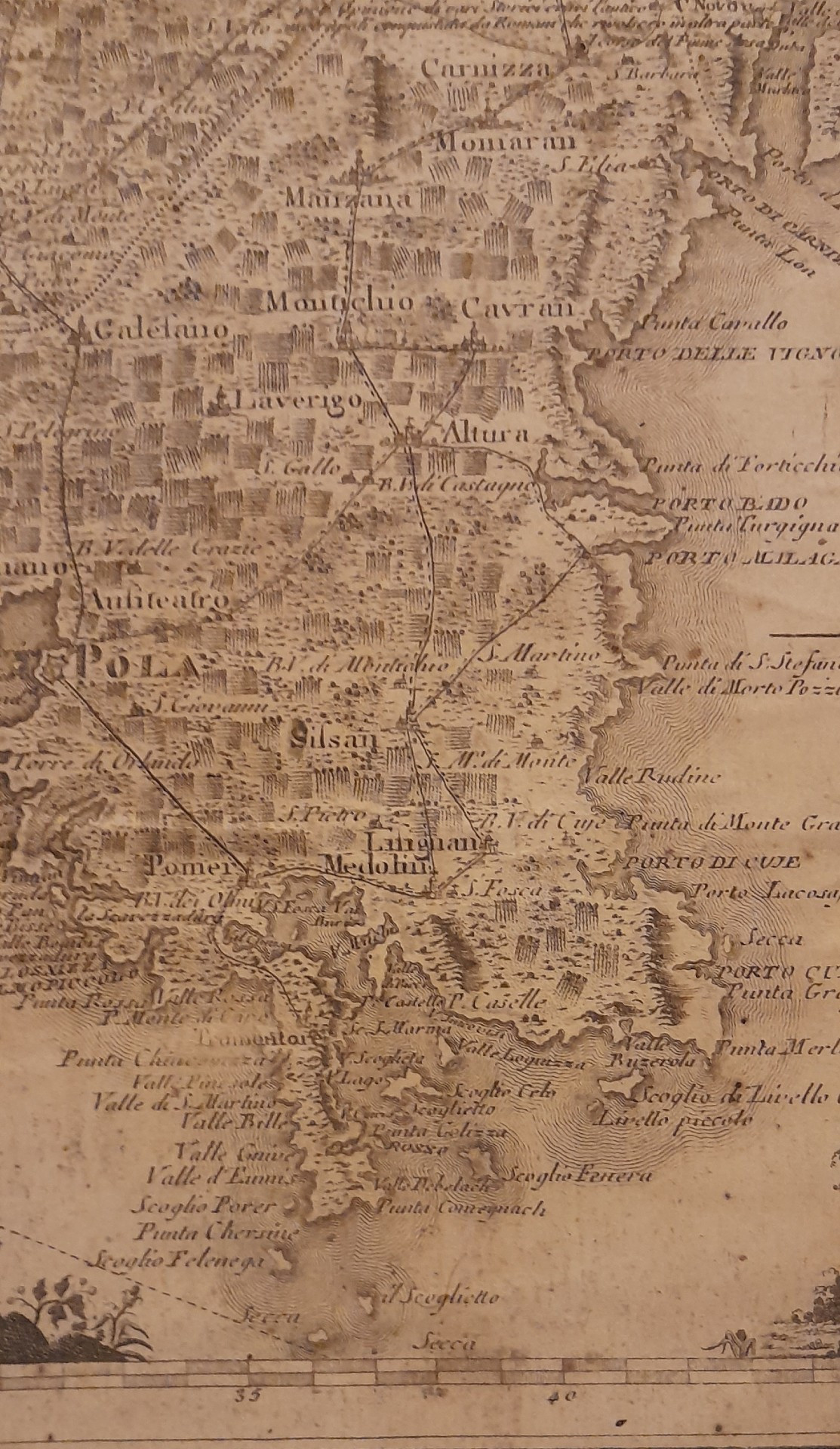
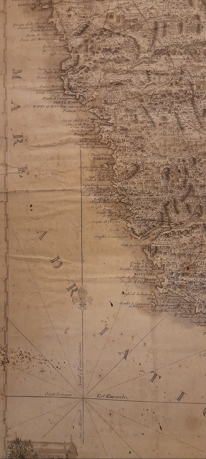
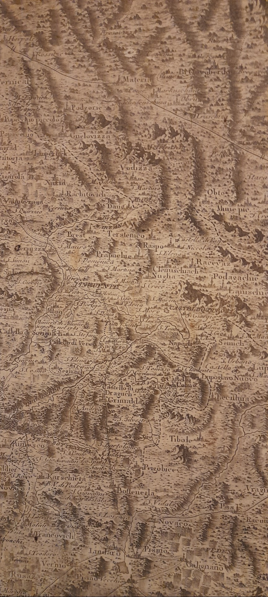
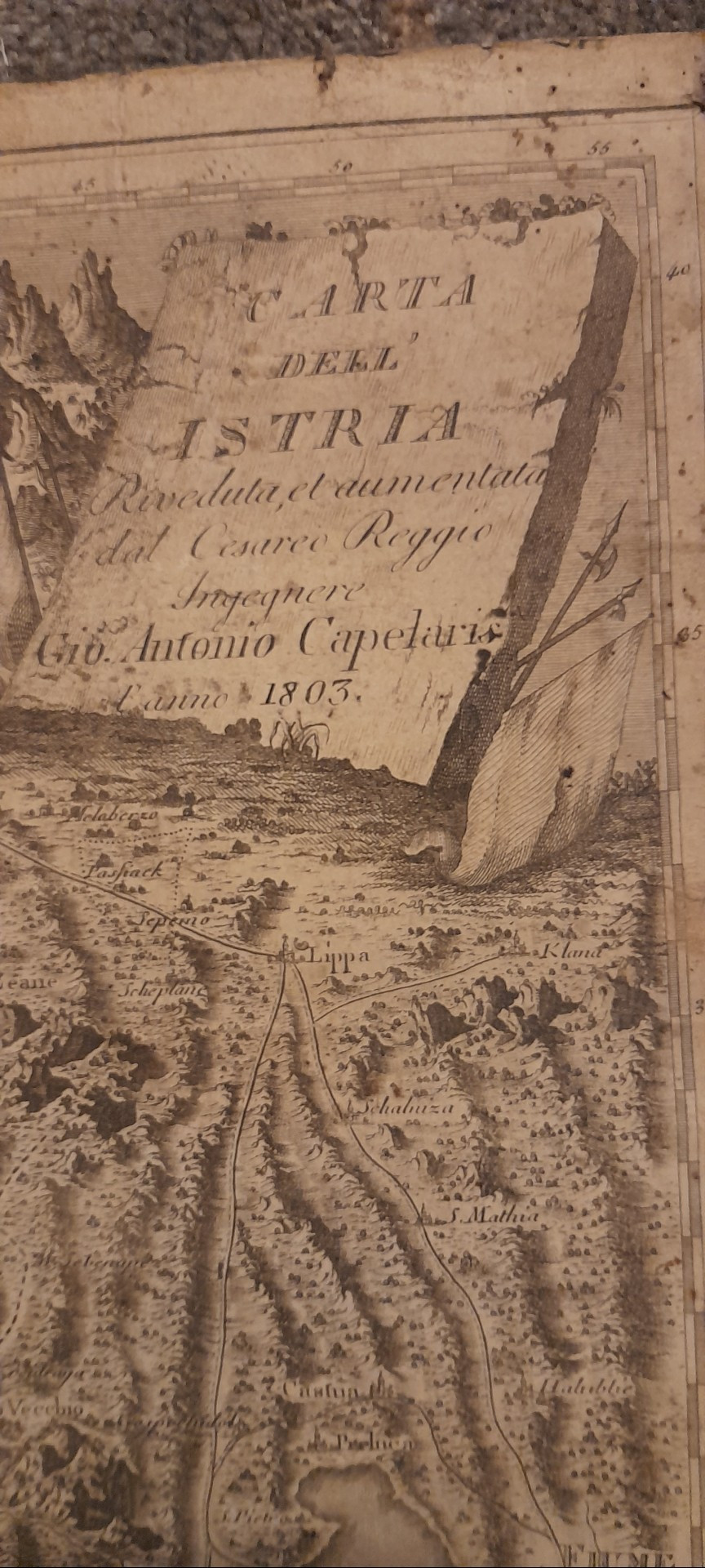
    An antique map of Istria (Carta dell'Istria), originally drawn or revised by the Royal Imperial Engineer Giovanni Antonio Capellaris (or Capelari) in 1803.
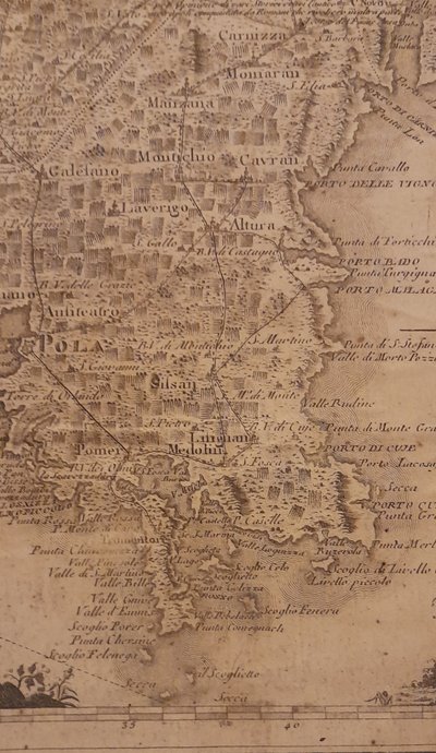
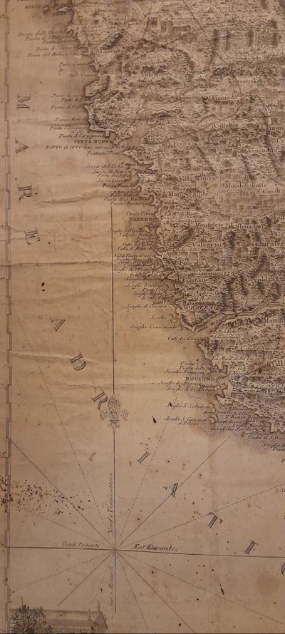
    Engraving in good condition; some text is missing at the bottom of the engraving. See our many photos
    RARE engraving in its current condition
    Please note: no frame—just a modern mounting strip for a stylish look
    Dimensions without frame: 48.5 cm x 63 cm
    Please feel free to contact us before making any trip. Payment by bank transfer only; we do not accept credit cards or checks.
    All inquiries will be handled via email through ANTIKÉO

    Ref: 8AMA8RWY5S

    Condition As is
    Style Directoire style (Engravings, Prints of Directoire style Style)
    Period 19th century (Engravings, Prints 19th century)
    Country of origin Italy
    Length (cm) 63
    Width (cm) 48
    Materials Paper
    Shipping Time Ready to ship in 15-30 Business Days
    Location 41000 , Blois, France
    Antikeo Buyer Guarantee

    4 commitments to buy with confidence